There is an updated article outlining my current system and tools for navigation: https://utazcooverland.locals.com/post/4717583/using-dedicated-navigation-devices-instead-of-smartphone-navigation-apps
After going over my high-level trip planning process in my last essay, in this instalment I will outline what and how I use navigation tools while on the road - both with and without cellular coverage. As I said previously, I describe how I use these tools as well as my choice of tools, and I know there are other options available; I just don't use them.
So, to set the stage early on and let those who don't approve of *my* choices know what to expect (and give an opportunity to move on,) here are the tools I use:
- Within cell coverage, my primary on-the-go navigation choice is Waze, with Google Maps (default view) as my backup.
- When I lose cell coverage, but am driving on established roads (not 4x4 trails,) I use Google Maps with the area I am operating in downloaded to the device.
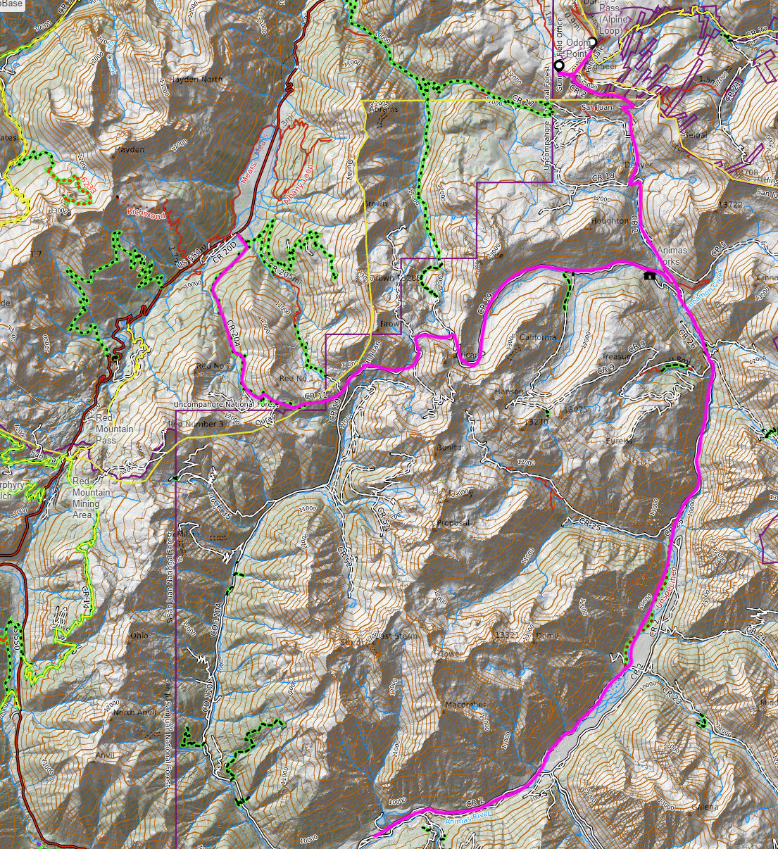
- Finally, when I am operating on 4x4 trails, I always use GaiaGPS, regardless of cell coverage. I carry my printed paper maps with me as a backup as well, as described in my planning essay.
- Finally, as a 'secondary backup' on the trails, I have the option of using my inReach Mini GPS & Satellite Communicator, paired with my phone and the Garmin Earthmate app to navigate.
With this high-level summary out of the way, let me go into more detail for each of my choices.
While I currently use an iPhone as my primary phone, I also have an iPad Mini (WIFI only) and a Samsung Android tablet (WIFI/LTE) I use when on the road. The iPhone is my primary device, connected to CarPlay in the Jeep. The iPad Mini is my content creation and consumption device, not used for navigation (due to lack of GPS in the non-cellular version.) The Samsung is my secondary (electronic) navigation display.

Waze and Google Maps
On my CarPlay screen, when driving on standard roads with cell coverage, I usually have Waze displaying the active route ('Track Up' view) providing both visual and auditory guidance along the way. The Samsung tablet usually has Google Maps running, with its version of the 'same' route, muted, zoomed-out 'overview style,' 'North Up' configuration.
Due to CarPlay limitations, I cannot have Waze displayed on the CarPlay screen and Google Maps on the phone screen at the same time, so I often will run GaiaGPS on the iPhone, again zoomed out and 'North Up;' both the Samsung and iPhone providing "situational awareness" by showing a larger region, instead of just a small area along the route. In inclement weather conditions, I sometimes opt to display the current radar (via my RadarScope app) on the iPhone instead.
One of the main reasons I do not use Apple Maps is the lack of ability to download maps (tiles) locally to the phone for off-cellular navigation. Apple Maps only works outside of cellular coverage, if a route, which has been activated within cell coverage, is present - the app downloads the map tiles around the active route, so as to being able to continue providing guidance in case of cell failure. When out of coverage, it is not possible to search for a destination and create a route...
In these conditions, Waze also becomes unusable, since it requires an Internet/cell connection to work. Google Maps on the other hand, provided the map tiles for the area being travelled have been downloaded ahead of time (within coverage,) will continue to show map detail, even without connectivity. When the area maps have been downloaded to the device, and those areas/maps contain saved waypoints, Google Maps will be able to create a route from the current location to the saved waypoint, even without cell coverage.
Caution! No traffic information will be available, nor any other information along the route requiring a **query** to the Google servers. When out of coverage, you cannot e.g. search for gas stations along the way. When trying to drive to a destination/waypoint not part of the downloaded area maps, no routing information will be available - in this case, the map has to be used without active routing...
GaiaGPS
Gaia is an amazing tool for outdoor enthusiasts. The sheer amount of base layer maps and map overlays is mind-boggling, making this app the perfect tool for anybody exploring the great outdoors. Since my primary use case is expeditions (or "overlanding,") my base map of choice is Gaia Overland.
In order to keep the app nimble, I choose to run as little map overlays as possible, typically only using the 'Public Land (US)' and 'Native American & Alaska Native Lands' active, while on the road. Like Google Maps, Gaia allows for downloading a map area of interest, so as to have access to those maps while outside of cell coverage.
Caution! It is important to understand that the only maps, overlays, routes, tracks, and waypoints downloaded are those which are selected and displayed when the download is initiated, and care must also be taken when deciding what magnification (i.e. map detail) is desired.
Exploring the intricacies of how to ensure maps etc. are properly downloaded is beyond the scope of this essay, but I would encourage anybody planning on using Gaia in the backcountry to get familiar with these details before heading out off-grid! A good starting point is, Download Maps for Offline Use.
Once the desired maps, overlays, routes, tracks, and (way)points of interest for the area of exploration have been downloaded, Gaia is ready to be used with or without connectivity.
Create a Route
This first method can be done while on the road, but it is easier to create the planned routes during the planning stage on the desktop.

Once on the road, simply opening GaiaGPS and choosing the saved route within the app will start the navigation/guidance on that route.
As mentioned in last week's planning essay, Trails Offroad has a GaiaGPS uploader built in, so it's even easier to upload popular trails from there. Any GPX track can be uploaded to Gaia and saved as a drivable route!
Video! Since it is so much easier to *show* how to navigate using these tools than it is to *describe*, look out for a short video on how I use these tools to navigate the back country - featuring Google Maps, GaiaGPS, and Garmin Earthmate/inReach. This video will be posted by 2022-09-18 on my main channel, UTAZCO Overland on Rumble.
In the meantime, for those who want to experiment creating routes from scratch in Gaia, here is the official "Help Article" on how to use the browser on the desktop to plan and create routes within the application. Any route created on the desktop is synced to the mobile device, and can be navigated as long as the maps containing that route have been downloaded.
When you create or upload a route, sync it to the mobile device, and open that route on the device, there is an option "Download Maps For Route," which will, similar to Apple Maps, download the maps/map tiles necessary to navigate that route off-line, to the device.
Finally, for those too impatient to wait for my video walk-through, here is a great beginners' introduction into using GaiaGPS for overlanding by Wanderlost Overland: COMPLETE Beginner's Guide To The Gaia GPS App, How To Get Started.
Stay Safe!
-Alain